


09-09-2019, 09:21 AM
1
A grand day out in Zumerzet.
My Lovely Cousin and I don't get out as often as we used to since she became my Uncle/FiL's carer.We share a birthday but were unable to get away on that day because her Dad was in hospital.
We also share a wedding anniversary
 and even though we managed a day out, it poured with rain.
 So, when the opportunity arose last week for us to take the Money Pit out for the day, we grabbed it with both hands.
Parked up for a comfort break at Blagdon in the recreation ground.

The view across Blagdon Lake from the car park.

On the outskirts of Bath.

My Lovely Cousin about to wear a Mr Whippy. Other ice cream vendors are available.

The most excellent Victoria Falls crazy golf course.


Oops!


One of the locals sunbathing, naked!

Several of the holes were in two sections. To get from part 1 of this hole ...

The ball travels through this wooden box bridge to part 2.

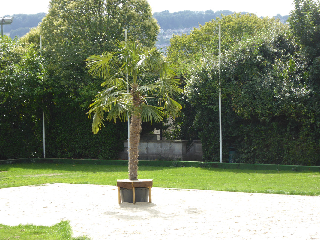
Next door to the golf course is a sports club. This is growing next to the volleyball courts.
After our strenuous activity we went for a wander around the upper echelons of Baff.
The Royal Crescent.

It looked like filming of Western was being prepared as a number of people were getting the wagons in a circle.
It fell off the back of a lorry yer 'onour.


Strolling on towards Victoria Park.

Cleopatra's needle appears to have been relocated.

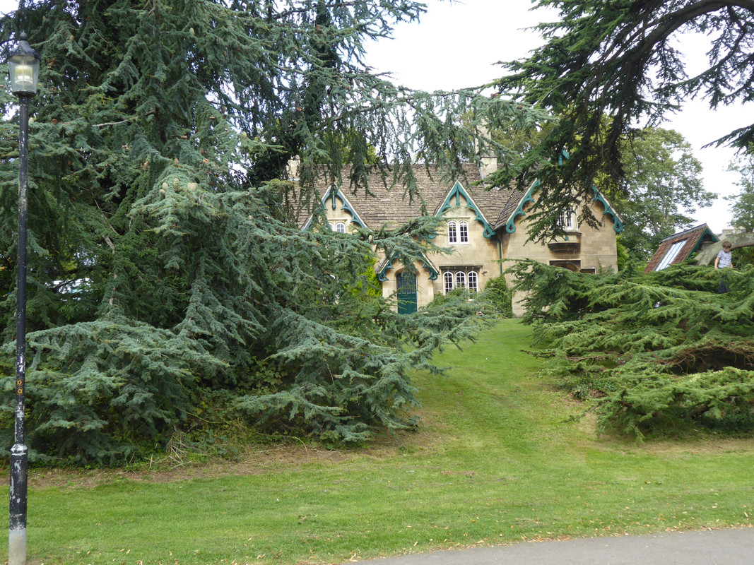
I believe a Master Hansel and Miss Gretel live here.
A small lake in the park.

Half a pergola is better than none.

Afterwards we decided to head for the coast; Weston-super-Mud to be precise. Sand bay from the old toll road.

The old toll road. It has an unenforceable speed limit of 25mph, a leftover from when it was privately owned. UK speed limits have to be multiples of ten to be lawfully enforced, but the local council have not yet had this one changed.
Sadly the 25mph limit is often abused resulting in serious and sometimes fatal crashes along its length.

The Severn estuary. 'Tis gert wide by here.

There is the remains of a view point, partly fenced off at the end of the toll road. This photo' doesn't show it particularly well, but there is a nasty rip tide just here. The spit of land on the right is at the far end of Sand Bay. You can just make out the faint outline of Wales.

Birnbeck Pier, now in such a state of decline that bits of it are falling into the sea, and the RNLI have had to move the lifeboat station to a new location.
Steepholm island is on the horizon.

Here you can see that parts of the jetty on the right has collapsed.

Here you can just see the old lifeboat slipway on the left of the pier head. You can also see where the holes in the planking make it far too dangerous for anyone to cross.
The pier head is built on a small island that used to house a funfair that included such delights as bumper boat rides.
Such a shame.

I think this used to be the ticket office.

Weston beach and Brean Down. Do not try to get from the former to the latter. The mud in between is treacherous, which is why the RNLI now have a hovercraft.
The mud has been known to swallow cars whole as well.

Panning along the mud, I mean beach, no, I mean mud. The island of Steepholm can just be made out, dead centre.

Looking towards the town and new, new pier; the old new pier having burned down a few years ago.
Just off the headland is Birnbeck island, joined to the mainland by the remains of Birnbeck pier.
Again, behind and to the left of the island is the faint outline of Wales.

After that we went home for tea.

09-09-2019, 11:14 AM
3
Re: A grand day out in Zumerzet.
Originally Posted by OldGreyFox
->
What a great day out Fruitcake, I really enjoyed the tour of Bath, Blagdon and Weston while sat here eating my porridge on a rainy and miserable South Yorkshire day. Love the descriptions, but how do you get your photos so big?....The mistake I made was to use the web size option instead of Do not resize, so I'm reloading the images one by one to get them biggerer.


|
|
